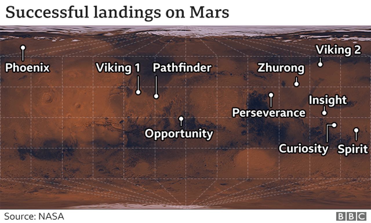
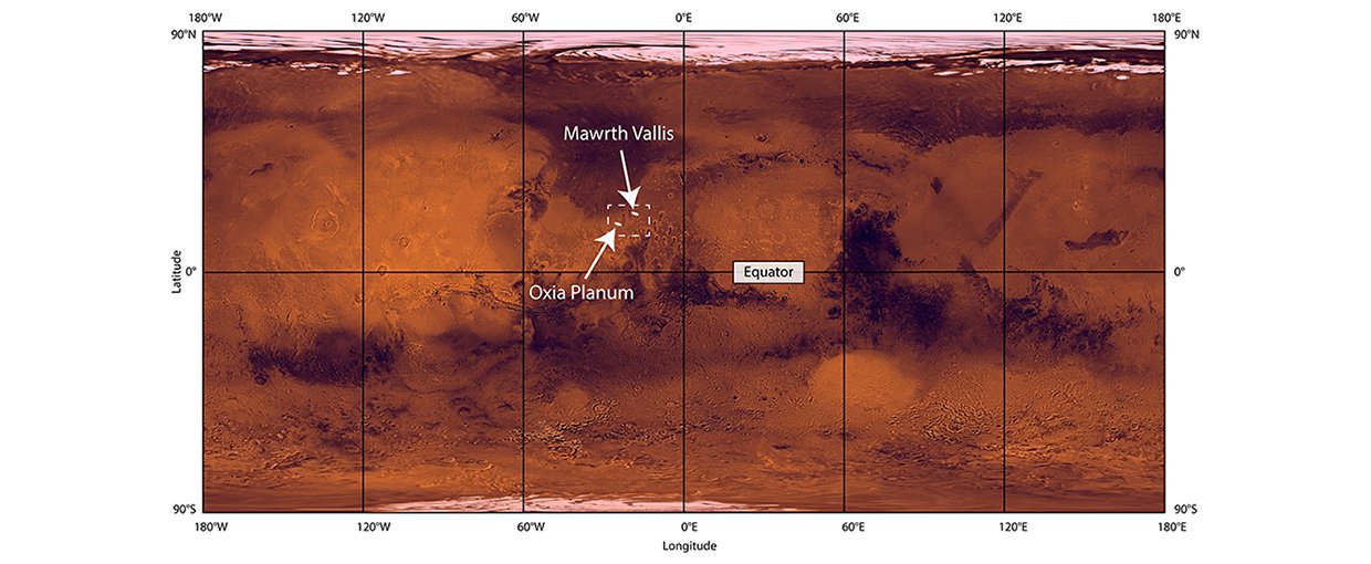
It's a completely standard Cartesian projection (x = longitude, y = latitude), but with nonsense graticules plotted on top. I think BBC took a NASA image of Mars and added their own graticules and landing-site labels. Compare the BBC image with these two NASA images: